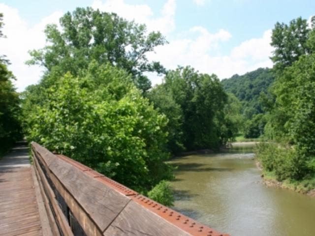
Alexandria Point Trail
An easy ride along the Ohio River and the amazing murals in Portsmouth, Ohio.
Length 1 mile Surface Paved Counties Scioto Trail Heads Alexander Point, Portsmouth Riverfront Park, Portsmouth

Delbert Haines Trail
The Washington Court House section of the Paint Creek Recreational Trail (formerly the Tri-County Triangle Trail or Adena Heritage Trail).
Length 4 miles Surface Paved Counties Fayette Trail Head Eyman Park, Washington C.H.
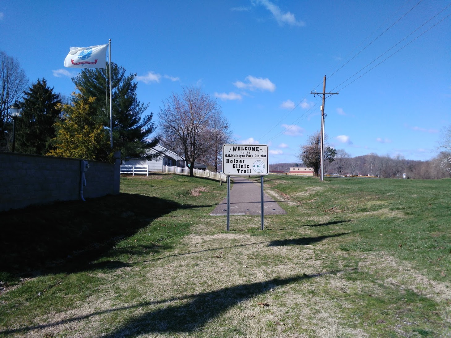
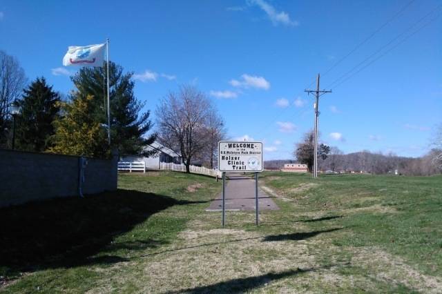
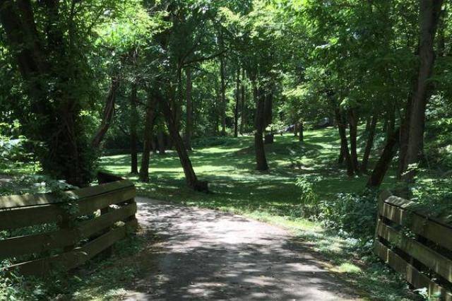
Gallia Hike and Bike Trail
A smooth ride featuring gentle grades with short stretches through small towns and through historic Gallipolis. The southeastern leg is also known as the Holzer Clinic Trail.
Length 11 miles Surface Asphalt; Limestone Counties Gallia Trail Heads Gallipolis off US 35 Haskins Memorial Park, Gallipolis
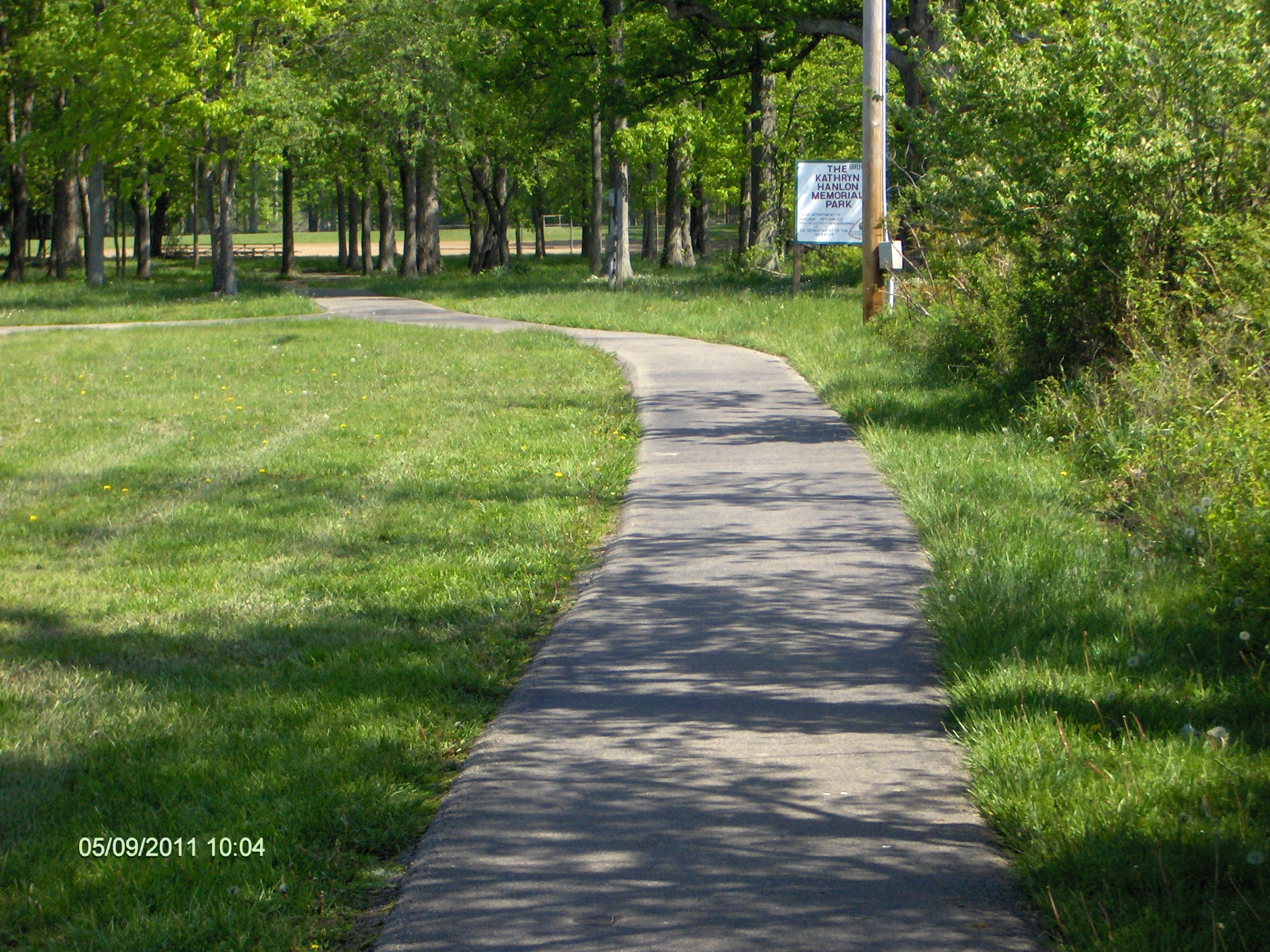
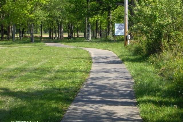
Georgetown Park Trail
A short trail in Kathryn Hanlon Park on the east side of Georgetown.
Length 1 mile Surface Asphalt Counties Brown Trail Heads Georgetown Park South Entrance Georgetown Park North Entrance
Greenfield Paint Creek Trail
A beautiful path offering opportunities to walk and/or bike through Greenfield, Ohio, along Paint Creek.
Length 3 miles Surface Paved Counties Highland Trail Head Felson Park, South Street accessed from S. McArthur Way
Jackson Bike and Hike Trail
A short paved trail on the eastern side of Jackson.
Length 1 mile Surface unknown Counties Jackson Trail Head Eddie Jones Park
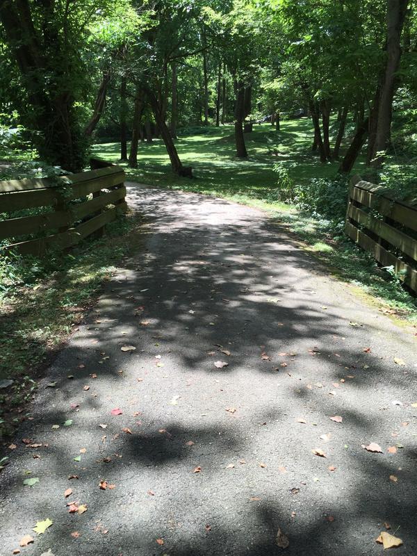
Little Miami Scenic Trail
Miles of well shaded trail includes great destinations along the route. A great route to connect with larger urban areas. This route connects with the Miami Valley Trails network.
Length 6 miles Surface Asphalt Counties Clermont Trail Head Little Miami Scenic Park, Loveland
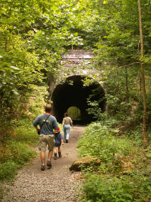
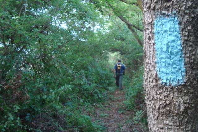
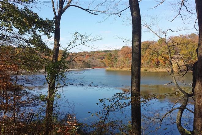
Moonville Rail Trail
An old railbed trail system situated deep in the picturesque hills of Vinton & Athens counties. Features historic natural and built environments.
Length 8 miles Surface Natural Surface Counties Vinton Trail Head SR 278 South of Reservoir, Lake Hope State Park

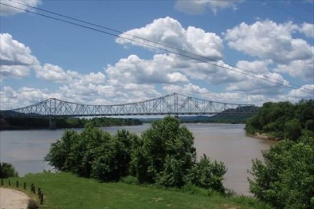
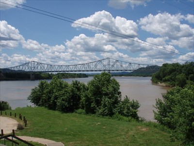
Ohio River Trail
Ohio River Trail
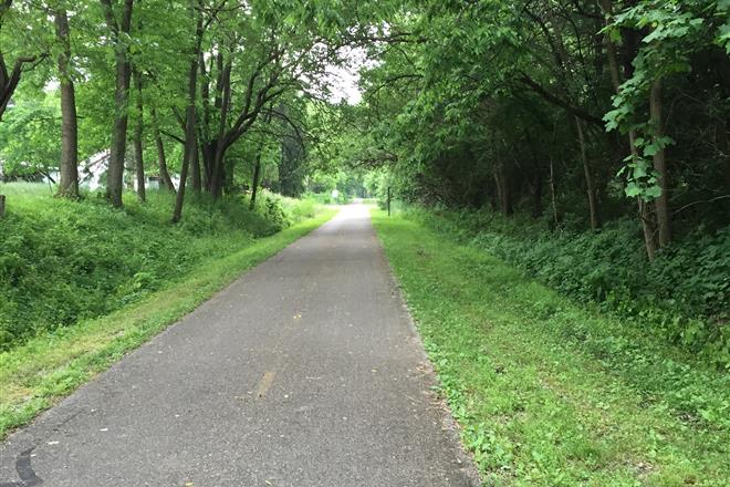
Paint Creek Recreational Trail
The longest dedicated bike path in our region, the PCRT is a gentle 34 mile ride from Washinton Court House to Chillicothe. This trail was previously known as the Tri-County Triangle Trail and the Adena Heritage Trail.
Length 33 miles Surface Paved Counties Fayette - Ross Trail Heads 2437 Robinson Rd SE (Shaw Wetland), Washington CH SR 104 South of US 35, Chillicothe
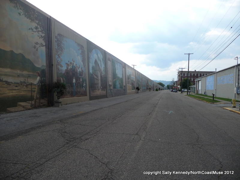
Portsmouth River Trail
An easy ride along the Ohio River and the amazing murals in Portsmouth, Ohio.
Length 1 mile Surface Paved Counties Scioto Trail Heads Alexander Point, Portsmouth Riverfront Park, Portsmouth
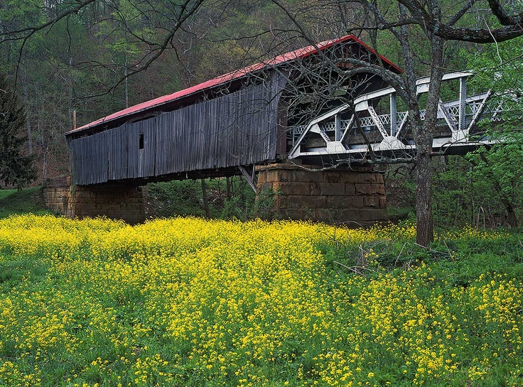
Scioto County Shawnee Bridge to Bridge Route
A shared-roadway ride between two iconic bridges through the hills of Scioto County, Ohio.
Read More
The Scioto County Shawnee Bridge to Bridge Route (denoted with signs as ‘B’) is a shared-roadway bicycle route extending from the historic Otway Covered Bridge to the Mackletree Bridge. The route is nestled in the rolling hills of Southern Ohio and traverses sections of the Shawnee State Forest.
The 36 mile trail offers a total elevation gain of over 1500 feet. The entire route surface is paved and is a shared roadway. Both ends of the route provide water and facilities.
Length 18 miles Surface Paved Counties Scioto Trail Head Brush Creek Twp. Community Park, Otway
Washington Court House YMCA Trail
Washington Court House Paved Trail & Paved Reservoir Path
Length 1 mile Surface unknown Counties Fayette Trail Head YMCA Washington C.H.
Wellston Trail
A short scenic bikepath connecting the City of Wellston and Lake Alma.
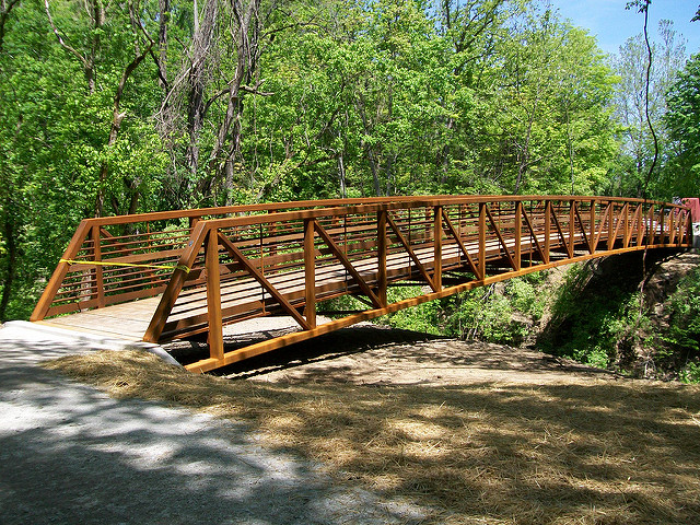
Williamsburg Batavia Hike Bike Trail
A mixed use trail to connect the villages of Batavia and Williamsburg. Bridges and connections to Harsha Lake highlight this route.
Length 3 miles Surface Asphalt Counties Clermont Trail Heads Clermont County Museum (Third and Lytle) East Fork State Park Campground Gate
*Trail lengths are approximate.