Bikeways

Little Miami Scenic Trail

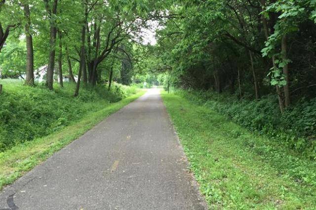
Miles of well shaded trail includes great destinations along the route. A great route to connect with larger urban areas. This route connects with the Miami Valley Trails network.

Little Miami Scenic Trail
Length6 miles
SurfaceAsphalt
CountiesClermont
Map Key#13
Trail Head
Little Miami Scenic Park, Loveland


More Information & Resources

 Trail Website   Park Link 

Bikeways & Hiking Trails

Views from the Trails

A glimpse into the wonderful scenery of Southern Ohio


Alexandria Point Trail
An easy ride along the Ohio River and the amazing murals in Portsmouth, Ohio.

View the Trail
Buckeye Trail
Buckeye Trail
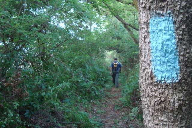
An amazing backpacking trail traversing all of Ohio through some of the most scenic locations. The trail is identified by blue blazes on trees and poles.

View the Trail
Delbert Haines Trail
The Washington Court House section of the Paint Creek Recreational Trail (formerly the Tri-County Triangle Trail or Adena Heritage Trail).

View the Trail
Gallia Hike and Bike Trail
A smooth ride featuring gentle grades with short stretches through small towns and through historic Gallipolis. The southeastern leg is also known as the Holzer Clinic Trail.

View the Trail
Georgetown Park Trail
A short trail in Kathryn Hanlon Park on the east side of Georgetown.

View the Trail
Greenfield Paint Creek Trail
A beautiful path offering opportunities to walk and/or bike through Greenfield, Ohio, along Paint Creek.

View the Trail

About Southern Ohio Trails

The Southern Ohio Trails site exists to promote Active Transportation and outdoor exploration in Southern Ohio. It is funded in part by the Ohio Department or Transportation, the Appalachian Regional Commission, the Economic Development Services Agency and OVRDC members.

The OVRDC portion of the code for this site is in the public domain and can be found on GitHub.

For more information, please use the contact form on the OVRDC website and use the subject 'Trail Map', or file an issue on GitHub.