Bikeways
Scioto County Shawnee Bridge to Bridge Route
A shared-roadway ride between two iconic bridges through the hills of Scioto County, Ohio.
Read More
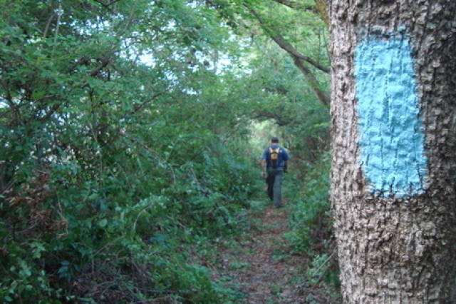
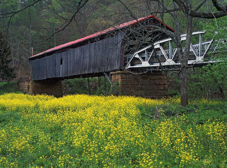
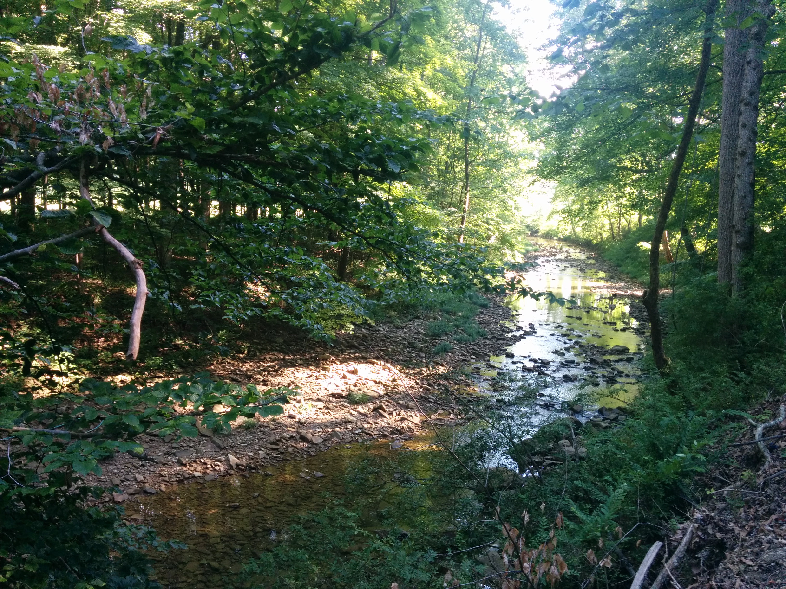
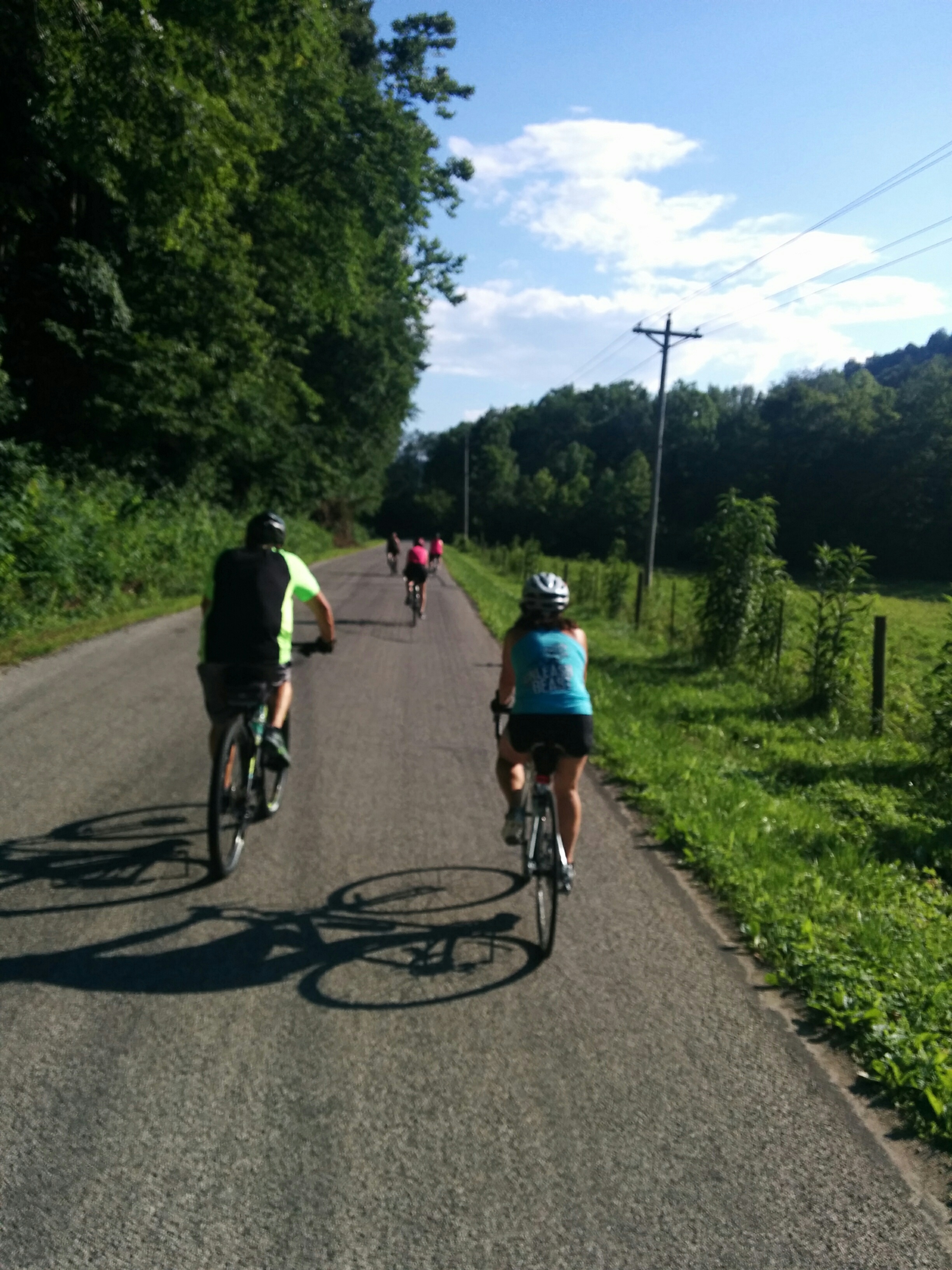
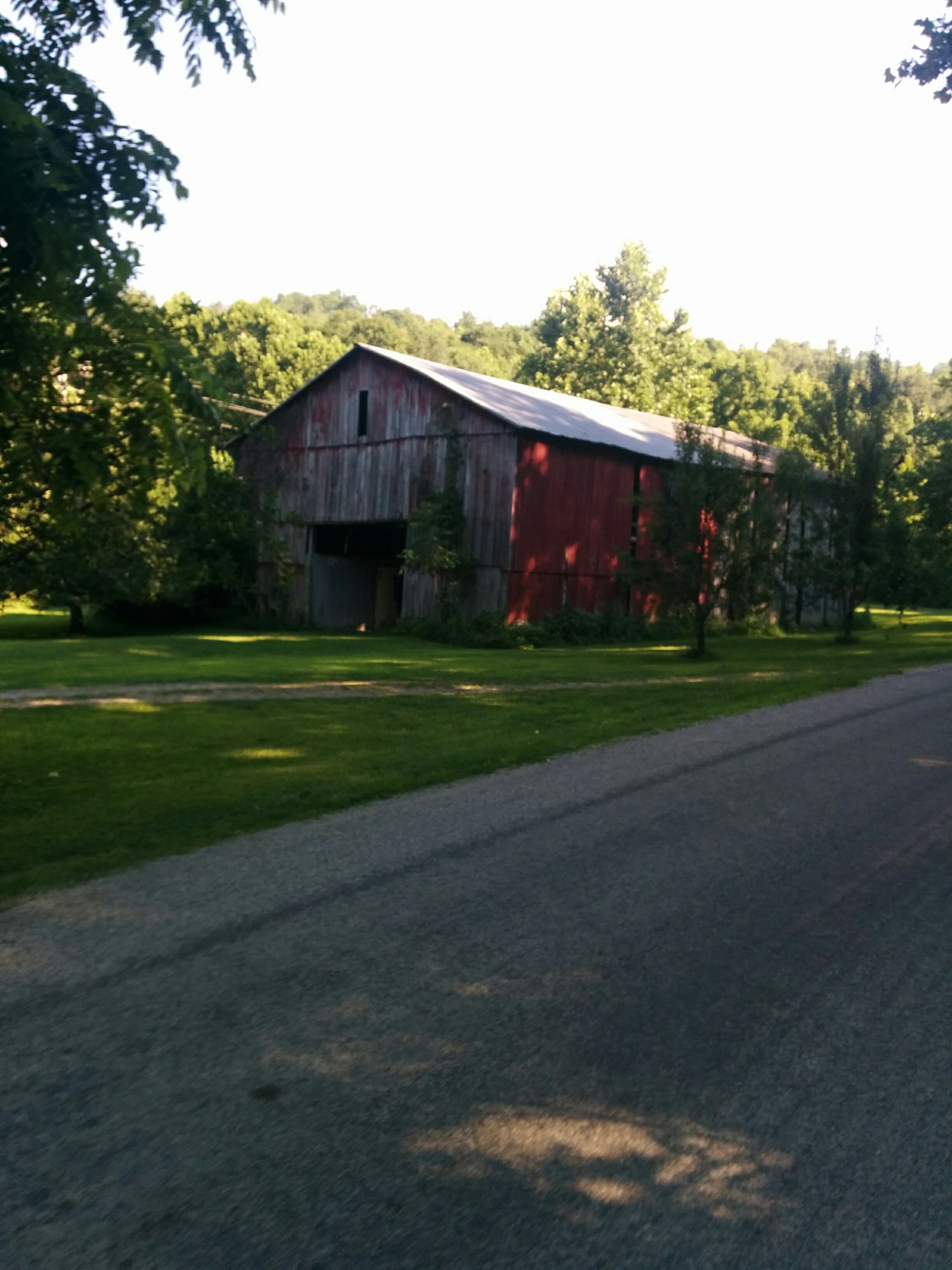
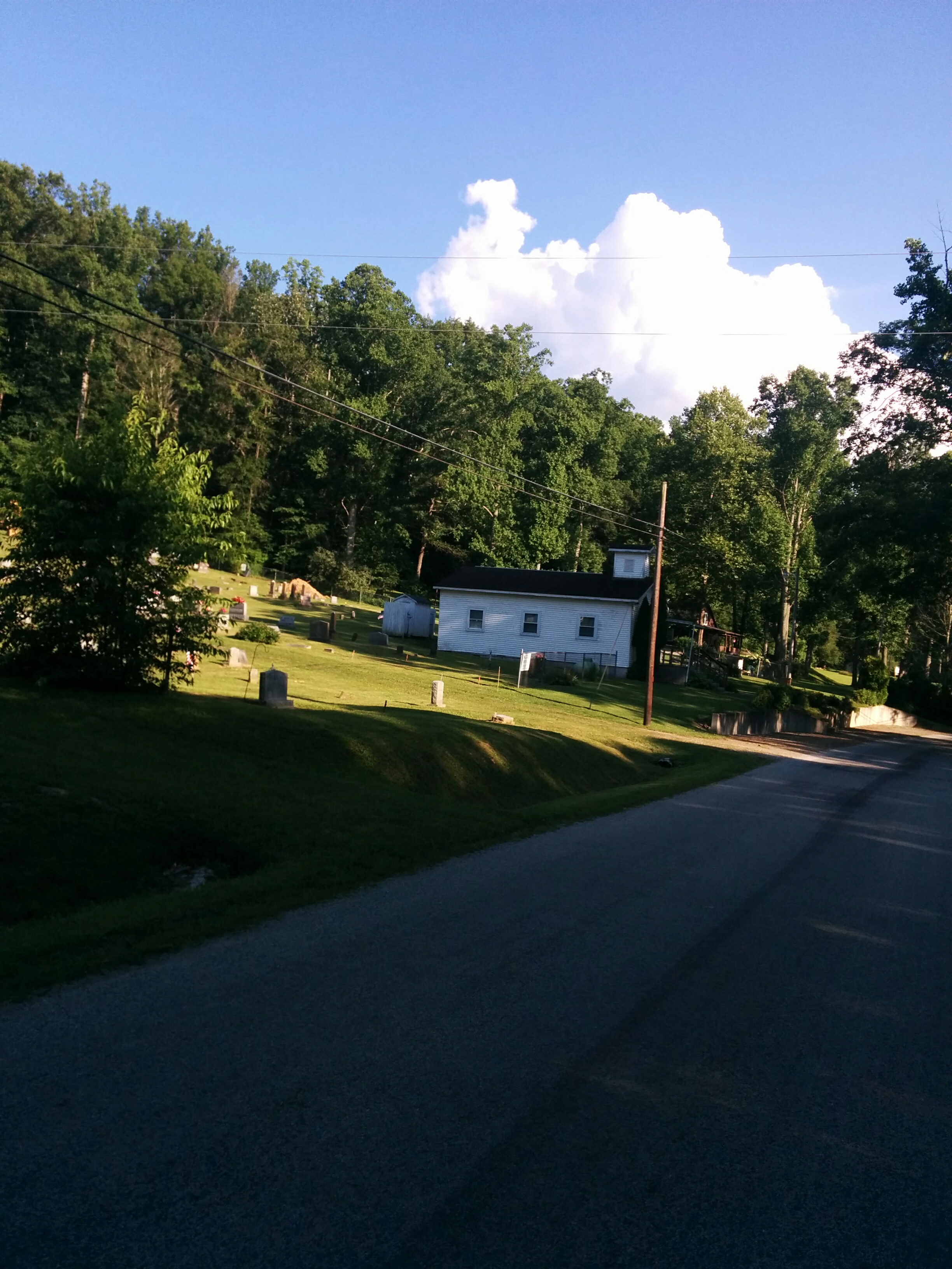
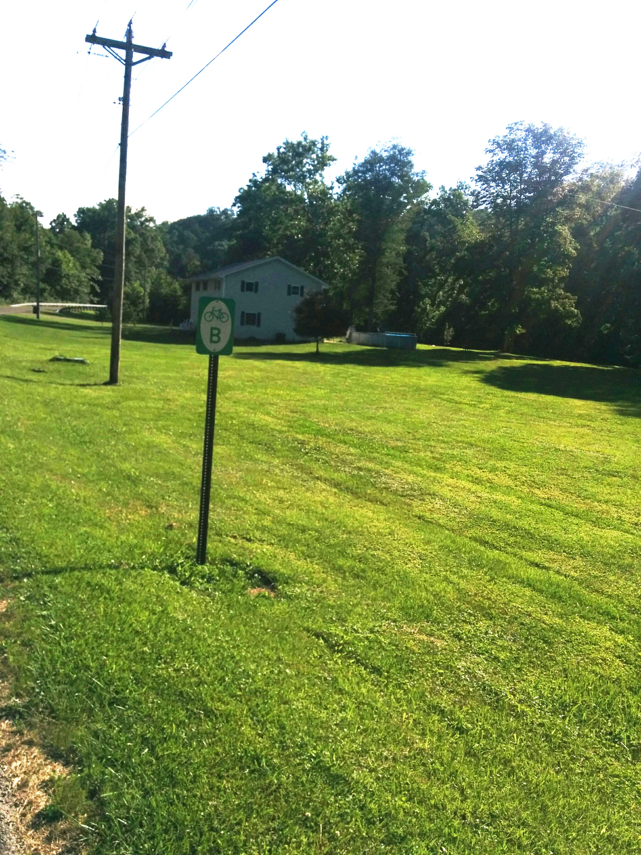
The Scioto County Shawnee Bridge to Bridge Route (denoted with signs as ‘B’) is a shared-roadway bicycle route extending from the historic Otway Covered Bridge to the Mackletree Bridge. The route is nestled in the rolling hills of Southern Ohio and traverses sections of the Shawnee State Forest.
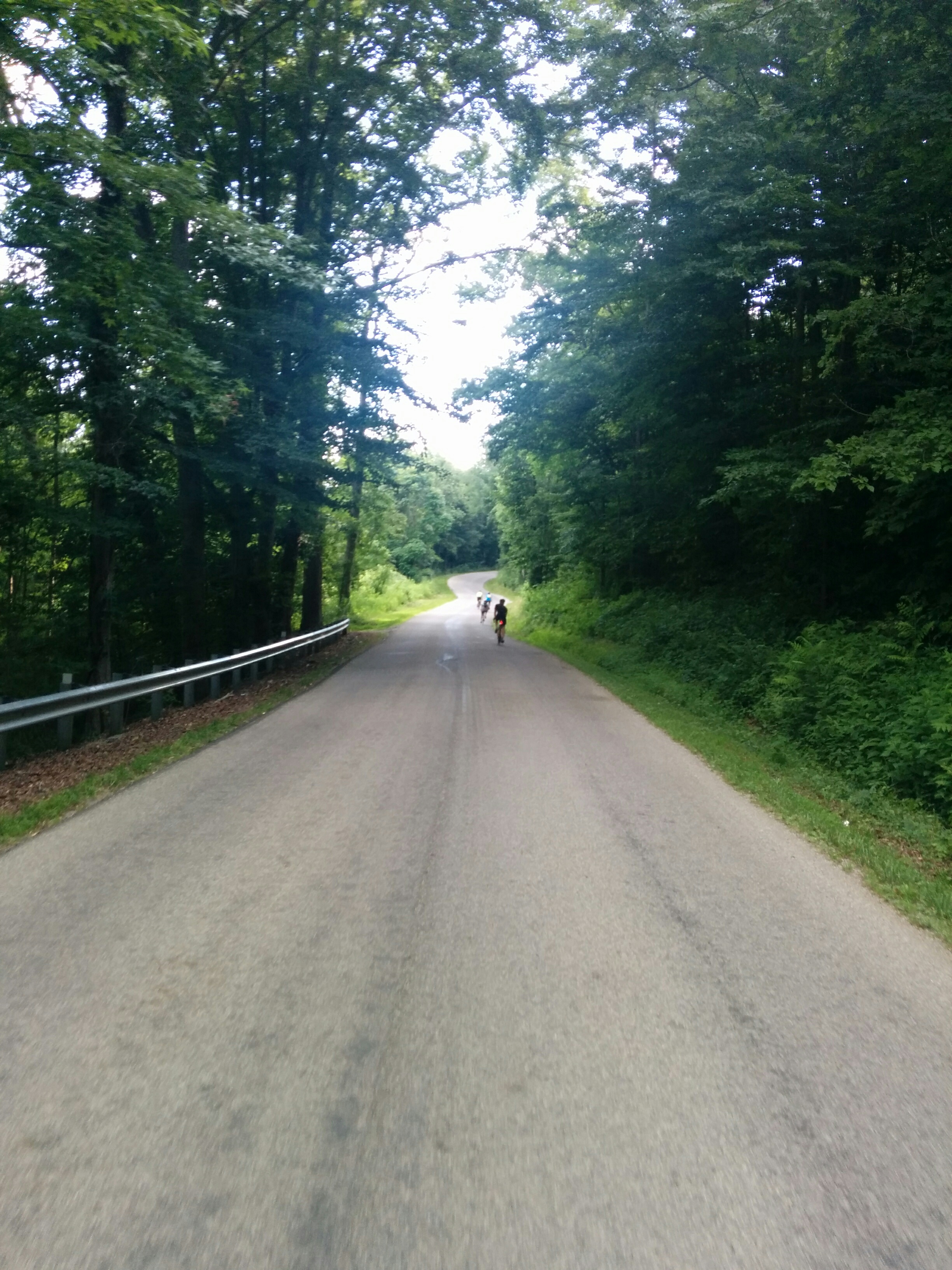
The 36 mile trail offers a total elevation gain of over 1500 feet. The entire route surface is paved and is a shared roadway. Both ends of the route provide water and facilities.
The 36 mile trail offers a total elevation gain of over 1500 feet. The entire route surface is paved and is a shared roadway. Both ends of the route provide water and facilities.
| Length | 18 miles |
|---|---|
| Surface | Paved |
| Counties | Scioto |
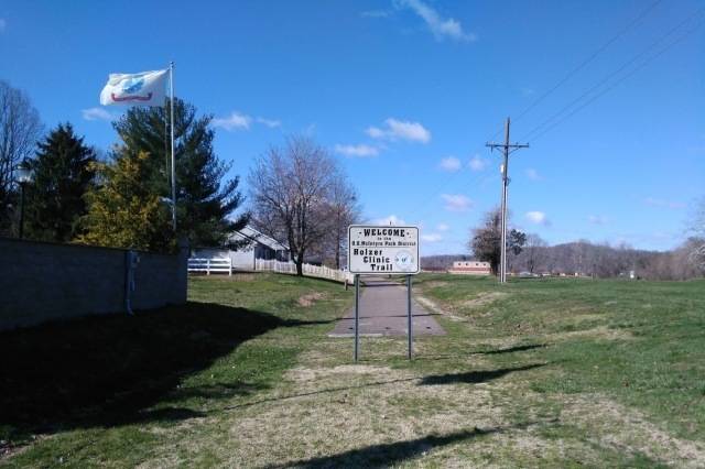
| Map Key | #22 | Trail Head |
| Brush Creek Twp. Community Park, Otway | |
Print Map
More Information & Resources
Trail Website GPX Data